


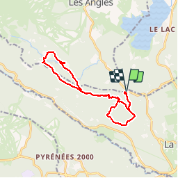

13,3 km | 19,3 km-effort

Benutzer


Kostenlosegpshiking-Anwendung
 SityTrail
IGN / Geografische Institute
SityTrail World
Die Welt öffnet sich für Sie
Tour Wandern von 15,1 km verfügbar auf Okzitanien, Ostpyrenäen, La Llagonne. Diese Tour wird von crijack vorgeschlagen.
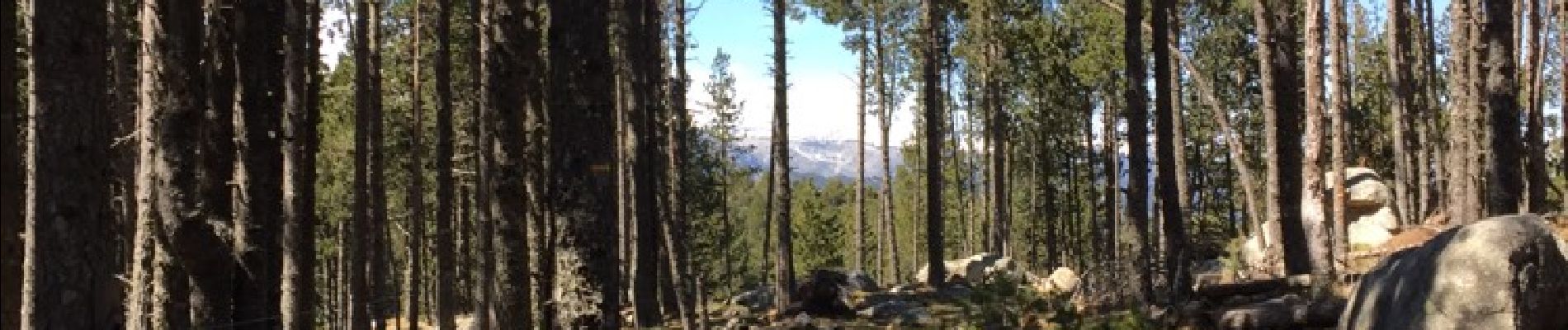
Randonnée sympa en forêt pentes douces et beaux points de vues surtout au refuge du Pla del Buc


Wandern

Schneeschuhwandern

Schneeschuhwandern

Wandern

Schneeschuhwandern

Wandern

Mountainbike

Wandern

Wandern
Superbes paysages. Rando sympa et facile.